

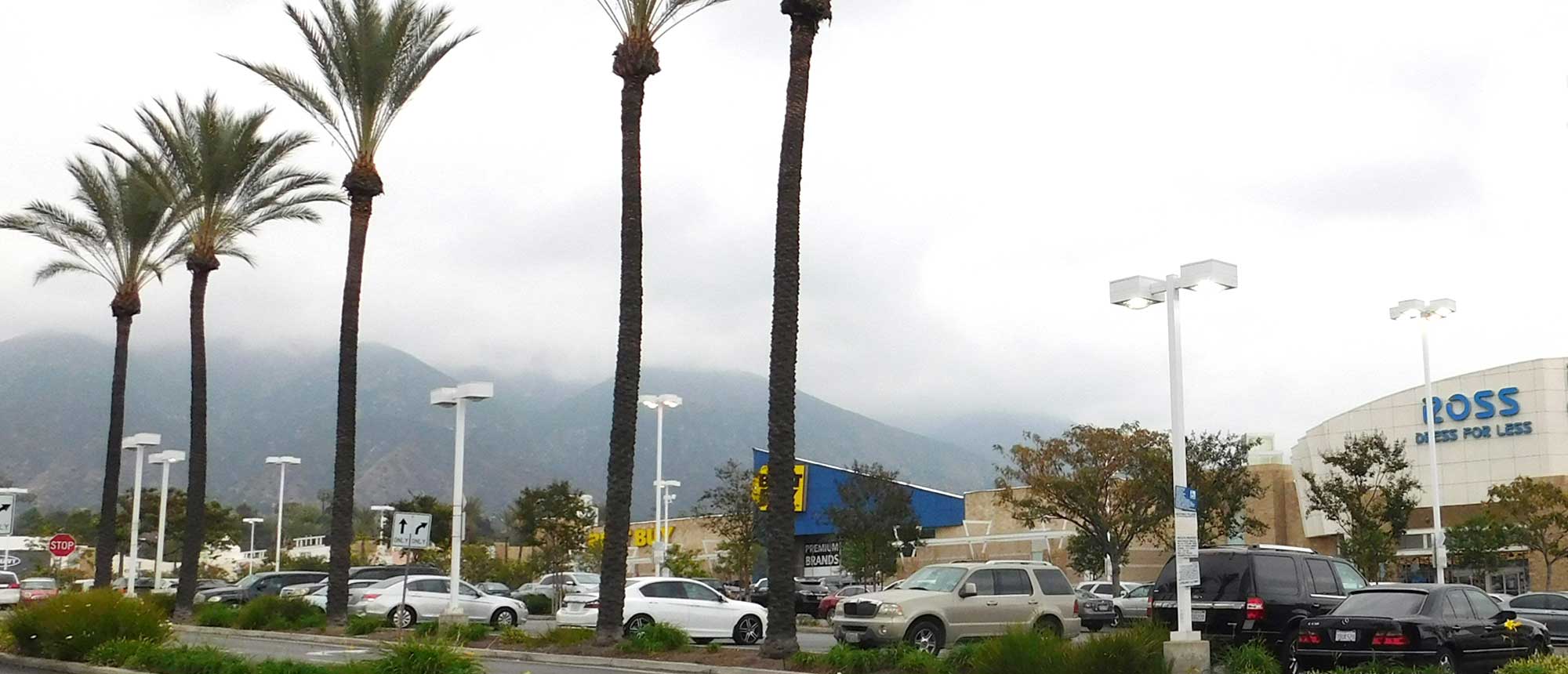
East Pasadena
The East Pasadena Specific Plan (EPSP), adopted in 2000, provides neighborhood-specific design and land use regulations for an approximate 208-acre area in eastern Pasadena. The boundaries of the East Pasadena Specific Plan area were modified in 2015 when the current General Plan was adopted. This Specific Plan area includes the Metro Gold Line Sierra Madre Villa Station and is generally bounded by Rosemead Boulevard to the north, Michillinda Avenue to the east, Colorado Boulevard to the south and Eaton Wash to the west. Notable assets in the Specific Plan area include The Stuart Building, the Sierra Madre Villa Gold Line station, the Pasadena City College Foothill Campus, the Gateway Metro Center building, Space Bank Self-Storage facility, Hastings Village shopping center, and Hastings Ranch Plaza shopping center.
On July 27, 2021, Planning Department presented information on the EPSP update to the Design Commission. The focus of the discussion was to solicit feedback on the EPSP draft development standards that were presented to the community during the Round 3 Virtual Open House held in 2020. For more information, read the Design Commission Presentation and listen to the Audio Recording.
The Planning Commisson will hold a Study Session on March 11, 2026 to reengage the update process. This is an informational itme only; no decisons will be made. Discussion will guide the preparation of the EPSP; community participation is strongly encouraged.